What is in the website?
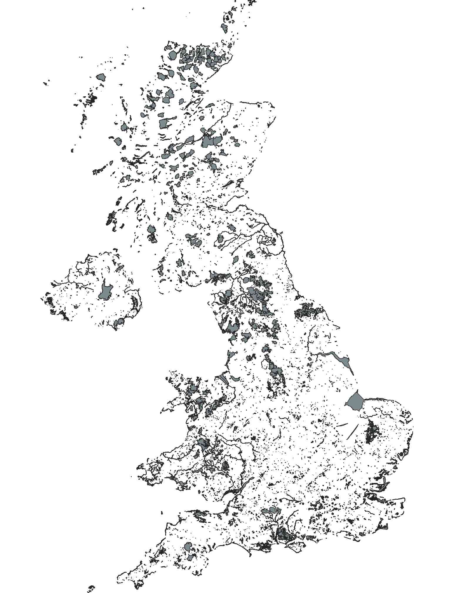
Map of all Sites of Special Scientific Interest (SSSIs) in the UK
The map above is made up of only Sites of Special Scientific Interest (SSSIs). All of the 7,000 and more SSSIs of England, Scotland, Wales, and Areas of Special Scientific Interest (ASSI) in Northern Ireland are shown in this web-app, in an interactive map.
The description of each site is also shown and can be searched for a word, phrase, or species name. These site accounts provide an overview of the country's most interesting wildlife areas and, taken together, are a treasure trove of information. There are a few filters that search the text to select those that are applicable:
- Searches (7)
- Explore (Area x Habitat x IUCN status x Geology)
- Geology (Time series and Landscape processes)
- Migration (Fish and Birds)
- Species (6 species related look-ups)
Since the 1970s and 1980s, there has been a massive decline in the UK's biodiversity. This site aims to highlight the best of what remains — a reminder of both the richness and fragility of our natural heritage.
Altogether, SSSIs (and equivalent designations) cover 24,799 km² (2,479,896 hectares) — about 10.2% of the UK's total land area.
| Nation / Designation | Area (km²) |
|---|---|
| England | 10,994.3 |
| Scotland | 10,086.4 |
| Wales | 2,599.9 |
| Northern Ireland (ASSI) | 1,110.0 |
| Guernsey (Crown Dependency) | 8.5 |
| Total | 24,799.0 |
How to use the website?
The simplest way to start is by going to Map. This will bring up a satellite image of the UK, with a mini-map for orientation.
Move the map to your area of interest. The map shows a white or black dotted outline, depending on the background, of nearby sites (within a limited distance of the centre). Clicking the red bullseye finds the nearest SSSIs, these will be listed below the map — click any name to jump straight to that site.
Mostly links are coloured orange or are dots on a map.
Use the mini-map in the bottom-right for quick navigation, or the arrow icon to locate nearby protected areas using your device's location.
Each site is shown on the map with a small orange or blue dot. Hover to see its name, click the dot for details, or use the orange links below the map if present and explore thousands of species and site descriptions.